
Our approach
At Geodesic Solutions, we emphasize collaboration and adaptability in addressing geospatial and data challenges. By working closely with stakeholders, we ensure that every solution is customized to fit the specific context and goals of each project. We integrate advanced technologies with practical insights, balancing technical precision with a deep understanding of environmental and societal impacts.

Our Mission
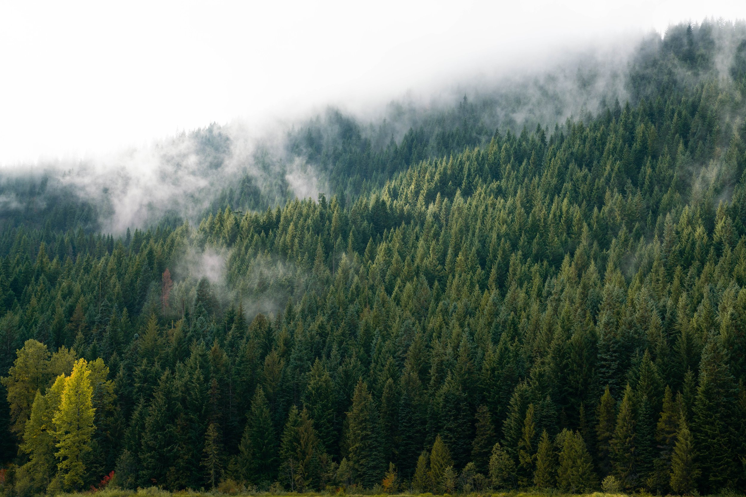
At Geodesic Solutions, our mission is to solve complex geospatial and data challenges with innovation, precision, and a deep commitment to environmental stewardship. We believe that sustainable solutions are essential for the future, and we strive to bridge the gap between advanced technology and environmental conservation. By combining cutting-edge remote sensing, predictive modelling, and comprehensive data analysis, we deliver solutions that not only meet your needs but exceed expectations.

Our Expertise
At Geodesic Solutions, we are your partner in navigating complex geospatial and data-driven challenges, offering a broad range of services. Our expertise in remote sensing technologies, allows us to provide detailed environmental mapping that empowers informed decision-making for sustainable management. We excel in cartographic design, blending technical precision with creative flair to produce visually striking maps that align with your brand’s needs. Additionally, our data analysis and cross-platform integration services ensure your data is accurate, accessible, and optimized. Our team’s extensive experience in natural resource management and environmental consulting ensures that each solution is tailored, actionable, and as unique as your projects are.