Our Team
NATURAL RESOURCE BIOLOGIST
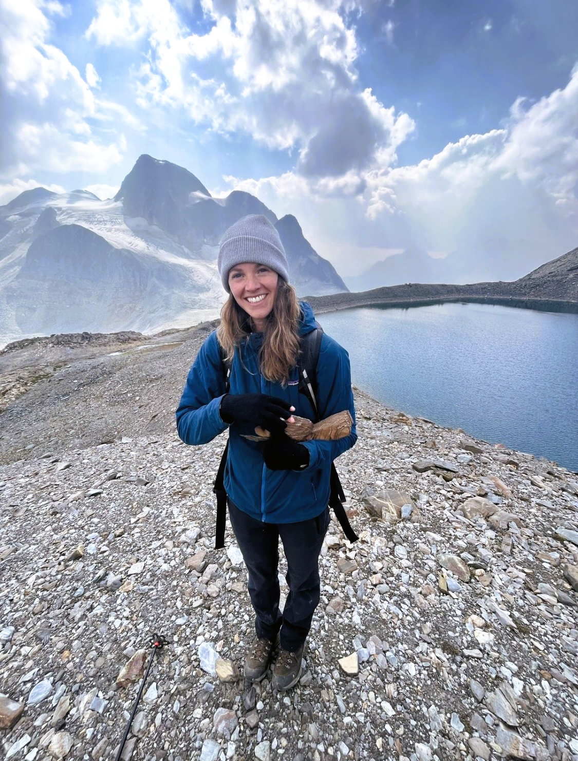
Kristina Deenik, M.Sc., B.I.T.
Her expertise extends from fieldwork to data analysis, bridging the gap between academic research and practical application. Kristina has successfully managed a diverse array of projects, including fisheries, forestry, wildfire urban interfaces, hydrology, sensitive habitat mapping, and wildlife inventories. Drawing upon her background in natural resource biology and environmental consulting, Kristina adeptly identifies research needs and policy gaps, approaching solutions from a holistic perspective.
Kristina’s academic journey includes a BSc in Wildlife Biology from the University of Guelph and an MSc in Earth and Environmental Sciences from the University of British Columbia (Okanagan), where her research focused on developing predictive wetland maps using Earth observation satellite and LiDAR data alongside machine learning classifiers.
Through her work across academic, private, and government sectors, Kristina has honed her skills in remote sensing technologies and data analysis using tools like R, Python, ArcGIS, and QGIS. Her roles at Selkirk College, the University of British Columbia, and Parks Canada reflect her dedication to advancing environmental science and conservation efforts.
Kristina’s innovative approach to wetland mapping has been crucial in numerous projects, including collaborations with the Okanagan Collaborative Conservation Program to identify areas resilient to climate change impacts. Her proficiency of remote sensing technologies, notably LiDAR, enables comprehensive mapping and understanding of ecosystems, unveiling their intricate functions and significance within the broader landscape. This advanced approach surpasses the limitations of traditional fieldwork, providing unparalleled perspectives crucial for informed land-use decision-making, policy adaption and implementation, and conservation-planning.
Throughout her career, Kristina has remained steadfast in her commitment to advancing environmental science, blending her expertise in wetland remote sensing with practical field experience to deliver comprehensive solutions that benefit both clients and ecosystems alike.
GIS SPECIALIST
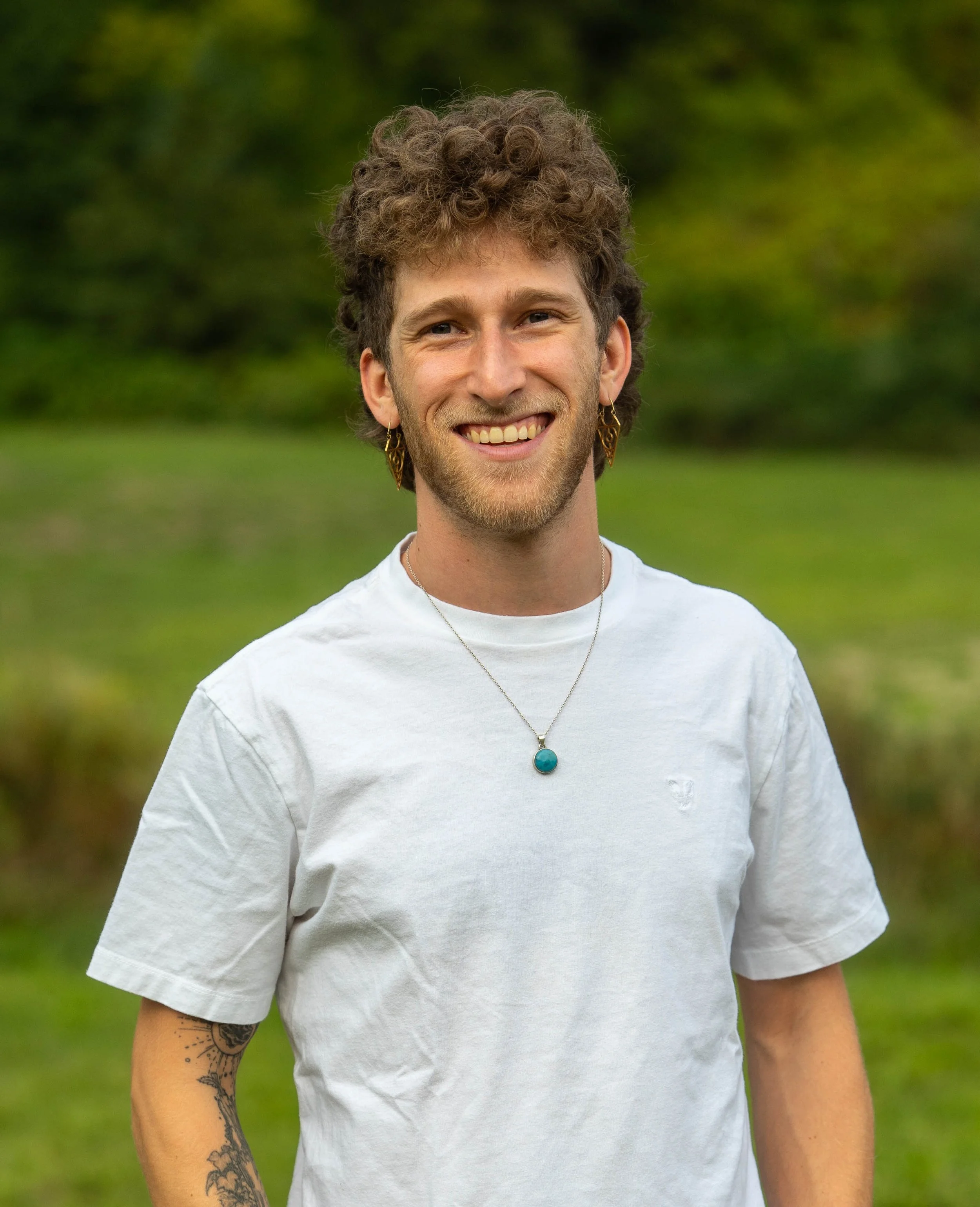
Evan Lavine, B.ES, ADGIS
Evan's expertise in geospatial and data integration is rooted in a unique blend of technical skills and creative problem-solving. His background in geography and environmental studies, combined with early experiences managing complex film projects, provided him with a solid foundation in navigating intricate details and coordinating diverse elements. This diverse skillset seamlessly translated into his work in the geospatial field, where he has made significant strides in spatial analysis and cartography.
His entrepreneurial spirit was evident when he co-founded Dronemates, merging his passion for filmmaking with advanced aerial imagery and GIS technology. This venture set the stage for a career marked by technical skills and creative solutions. Subsequent roles at organizations like the BC Ministry of Water, Land and Resource Stewardship, Slocan Integral Forestry Cooperative, and a BC-based software startup further refined his expertise in geomatics and automation.
Evan’s approach is characterized by a commitment to integrate creativity with practical applications. His work in developing predictive models, crafting detailed cartographic designs, and optimizing data integrations reflects his dedication to advancing geospatial and data analysis.